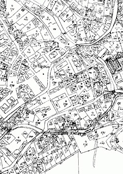
Digitalization of domestic cadastral maps is increasing the pace
 |
From 2004 to 2007, the pace of digitalization decreased due to a reduction in staff. Last year, however, cadastral offices gained an additional 300 new employees who participated in the map conversion. "Their performance could not fully manifest in 2009 due to the gradual onboarding, which, along with a significant failure to complete the land adjustments plan, had the greatest impact on the fact that the increase in the number of digitized cadastral territories in 2009 did not reach the planned 955 territories," states the annual report.
Out of a total of 13,027 cadastral territories in the Czech Republic, nearly six percent were digitized last year. This is the strongest increase in the last ten years, despite not meeting the original intention. "Attention continued to be focused on cadastral maps in urban areas and larger municipalities, where higher quality data is generally available, more real estate market transactions occur, and development plans are implemented," stated the office. Digitalization of cadastral maps in such locations is, however, more time-consuming than in rural areas.
At the end of last year, maps for 5,739 cadastral territories were available in digital form, which is more than 44 percent of the total number. The rest of the territories are currently covered only in the form of scanned cadastral maps, which, compared to digital maps, do not allow the current state of the cadastre to be displayed on the internet.
According to CÚZK, digitalization is a necessary step for the effective functioning and management of the land registry. Electronic cadastral maps are a vital resource in land management and decision-making. Their strategic importance lies in the fact that they serve as a basis for the creation of other maps, information systems, and applications relating to the territory. In practice, this includes digital technical maps, zoning plans, pricing maps, monitoring and development of technical and transport infrastructure, or the environment.
Development of digitalization of cadastral territories in the Czech Republic:
| Year | Digitized | Total in digital form |
Annual increase from a total of 13,027 territories |
Share of total number |
| up to 2000 | 1049 | 1988 | 8.1 % | 15.3 % |
| 2001 | 440 | 2428 | 3.4 % | 18.6 % |
| 2002 | 453 | 2881 | 3.5 % | 22.1 % |
| 2003 | 543 | 3424 | 4.2 % | 26.3 % |
| 2004 | 383 | 3807 | 2.9 % | 29.2 % |
| 2005 | 314 | 4121 | 2.4 % | 31.6 % |
| 2006 | 279 | 4400 | 2.1 % | 33.8 % |
| 2007 | 263 | 4663 | 2.0 % | 35.8 % |
| 2008 | 313 | 4976 | 2.4 % | 38.2 % |
| 2009 | 763 | 5739 | 5.9 % | 44.1 % |
The English translation is powered by AI tool. Switch to Czech to view the original text source.
0 comments
add comment
Related articles
0
11.03.2025 | The digitized Portal of the Cadastre and Surveying will also verify the data of owners
0
22.02.2012 | People can now electronically access 60% of cadastral maps
0
12.06.2011 | In digital form, half of the Czech cadastres are already available
0
25.11.2010 | The digitization of cadastral maps will be delayed due to cuts


