Ijburg

 |
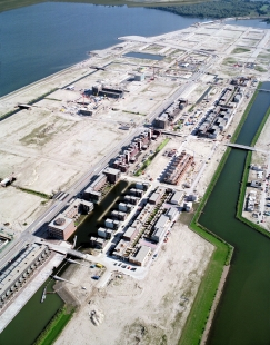
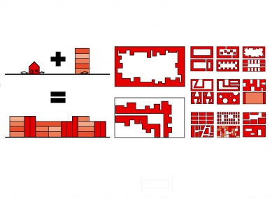
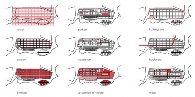
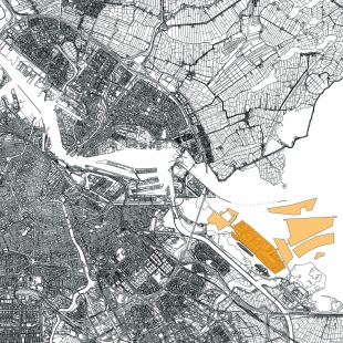
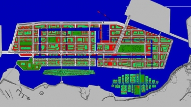
The “Haveneiland” constitutes the centre of IJburg, and has an urban density and character. The “Rieteilanden” are suburban in character and have soft banks, detached housing and dike houses with gardens running down to the reedy borders. The design for the “Haveneiland” is based on a grid which can be described in terms of three layers: landscape design, urban design and distribution of programme functions. The grid (170mx90m) expresses the binding conditions, the public space, via the streets, while leaving room for a variety of uses, and thus for diversity, in the shape of blocks. In principle, all positions within the grid are equal. The total programme is evenly spread across the grid. All the blocks have a proportionally equal density and there is no hierarchy in types of housing between them. An architect and a principal work out each block as a partial urban design scheme. Public spaces, a (market) square and two parks with playgrounds, have been planned at regular distances and connected to the longitudinal streets in the plan. An internal waterway transects the grid and opens up the structure of the otherwise closed blocks. The plan features prominently placed buildings called “solids”. Solids are loft-like structures with high storeys and floorbays that can be freely arranged, and are capable of incorporating a great diversity of programme. In between the (market) square and the IJburglaan, and near the point of access to the “Haveneiland“, is the shopping centre. The exceptions transform the grid and ensure that its dominance is toned down, creating a layer of natural variation within the grid.
0 comments
add comment


